-->
Current:
Event/Warning List
(XML)
Earthquake List
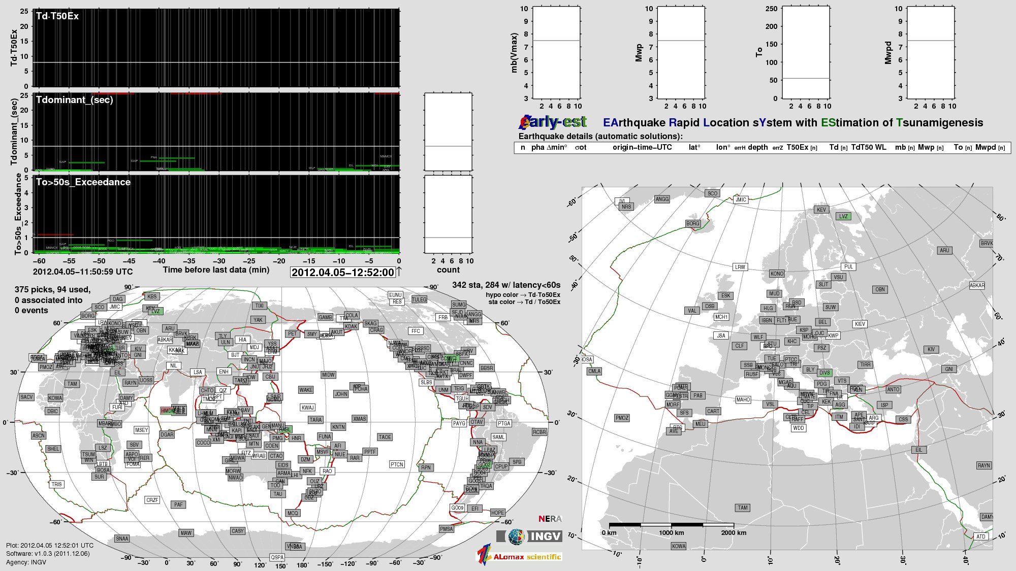
[Image Only
w/Alert]
Image (PDF)
Station Health
[Display Key]
Developed by:
 INGV
INGV
 ALomax Scientific
[
Users Guide
further
information
]
ALomax Scientific
[
Users Guide
further
information
]
This work was supported by the 2007-2009 Dipartimento della Protezione Civile S3 project at INGV and by INGV-CNT institutional funds.
The facilities of GFZ-GEOFON and the IRIS Data Management Center were used for access to waveform (SeedLink server) and metadata used here.
Plate boundaries from Bird, P. (2003) An updated digital model of plate boundaries.
Plots made with GMT (http://gmt.soest.hawaii.edu).
References: Lomax, A. and A. Michelini, 2011, Tsunami early warning using earthquake rupture duration and P-wave dominant period: the importance of length and depth of faulting, Geophys. Journal Int., first published on-line Jan. 20, 2011, DOI: 10.1111/j.1365-246X.2010.04916.x. (further
information)
Lomax, A. and A. Michelini, 2009, Tsunami early warning using earthquake rupture duration, Geophys. Res. Lett., 36, L09306, doi:10.1029/2009GL037223. (further
information)